

Building GEO-AI Infrastructure for Climate Resilience
Translating satellite data and machine learning into policy-ready intelligence for food systems, climate adaptation, and environmental decision-making worldwide.
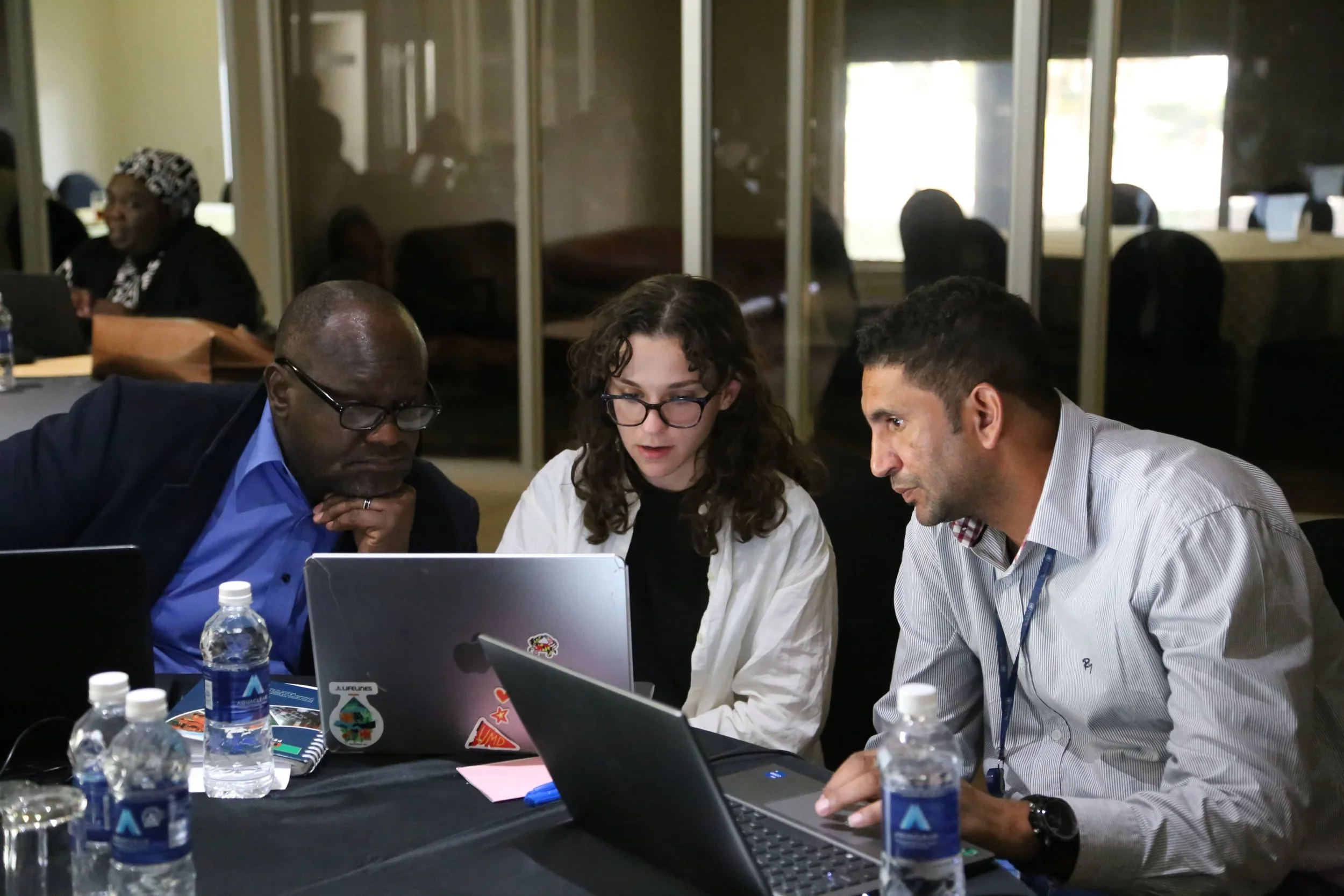
Why We Exist
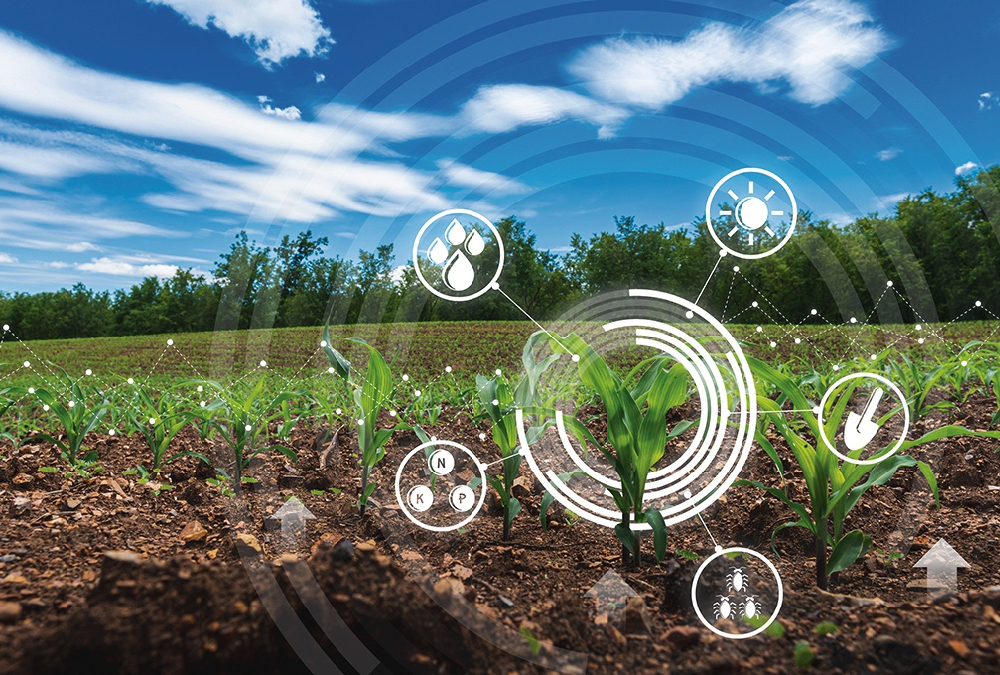
Governments, institutions, and development organizations increasingly rely on satellite data and AI to understand climate and food system risks. However, the gap between raw geospatial data and actionable decisions remains wide. Data is abundant, but usable intelligence is not.
The Xylem Institute builds end-to-end GEO-AI infrastructure that transforms earth observation data into reliable, interpretable, and decision-ready systems, designed for real-world policy and operational use.
What We Do

GEO-AI Systems at Scale
We design machine learning pipelines that convert satellite imagery into indicators for crop health, yield estimation, climate anomalies, and environmental risk,built to operate at regional and national scales.

Decision-Ready Intelligence
Our focus is not just models, but outcomes. We deliver outputs that policymakers, practitioners, and institutions can understand, trust, and act upon, maps, dashboards, and structured insights.

Institutional Capacity Building
We support long-term adoption through documentation, training, and system design that integrates with existing institutional workflows
Our Strategic Framework


🍎 Fruit (Impact)
The fruit represents real-world outcomes, where insights translate into measurable improvements in climate resilience, food security, and economic sovereignty.
At this stage, data becomes action: empowering communities, institutions, and governments to make informed decisions that directly affect livelihoods and long-term stability.
🍃 Leaf (Policy)
Leaves symbolize the interface between evidence and governance. Xylem supports governments through direct, contracted services that embed GeoAI insights into national and regional policy frameworks.
This ensures decisions are adaptive, data-driven, and responsive to local realities rather than one-size-fits-all models.
🌳 Branch Services
Branch services focus on human capacity, training analysts, researchers, and institutions to interpret and operationalize GeoAI systems independently.
These programs build durable expertise pipelines, reducing long-term dependency while strengthening institutional resilience.
🪵 Stem Programs
The stem forms the structural backbone of the framework: robust platforms, dashboards, and analytical tools designed for decision-makers.
These systems integrate diverse datasets into clear, actionable insights, bridging complexity and clarity for everyday use.
🌱 Root Projects
Root projects ground all insights in scientific rigor and contextual truth. This layer establishes validated methodologies, localized models, and reproducible research protocols.
Strong roots ensure trust, transparency, and long-term credibility across every downstream application.
🌾 Seedbed (Frontier)
The seedbed is where innovation begins, high-risk, high-reward pilots exploring emerging GeoAI techniques and frontier research questions.
Successful experiments mature upward into production systems, continuously renewing the ecosystem with next-generation capabilities.
Demonstrated Impact at Scale
-
$11M+
Food assistance optimized through improved targeting and predictive analytics.
-
370,000+
People directly reached through early warning systems and agricultural decision support.
-
8+
National governments integrating Geo-AI systems into food security monitoring.
-
452,000+
Lives protected through anticipatory action and risk-informed interventions.
Meet the Founder

Dr. Catherine Lilian Nakalembe
Founder & Director
Dr. Catherine Nakalembe is a globally recognized expert in Earth Observation, food systems, and applied geospatial analytics. She brings deep experience translating satellite data and machine learning into policy-relevant insights used by governments, multilateral institutions, and development organizations.
Her work sits at the intersection of science, operational decision-making, and institutional capacity building, ensuring that advanced GEO-AI systems are not only technically sound, but trusted, interpretable, and deployable in real-world governance contexts.

A Trusted Global Partnership Network
Embedded across research, government, and multilateral ecosystems.
Academic & Research Institutions
University of Maryland
Leading global universities
Regional research centers
Technical training institutes
Government Partners
National ministries
Disaster risk financing agencies
Agricultural and climate monitoring units
International & Multilateral Organizations
NASA Harvest
World Bank
GEOGLAM
Regional climate initiatives
Strategic Advantage
The Xylem Institute operates at a critical gap where many technology efforts fail: the transition from raw data and experimental models to trusted, decision-ready intelligence used by institutions.
-
We design complete systems, from data ingestion and model development to validation, interpretation, and deployment, ensuring outputs are reliable, explainable, and actionable.
-
Our work begins with policy and operational questions, not algorithms. Every system is built around real decision workflows used by governments, agencies, and practitioners.
-
We apply rigorous validation, uncertainty quantification, and transparent methodologies so institutions can trust and defend the outputs they use.
-
Beyond tools, we build documentation, training pathways, and institutional memory to ensure systems remain usable long after initial deployment.
Get Involved
Partner With Us
Fund Our Work
Collaborate on Research & Innovation
Join Our Community

You’re part of the process. We keep communication open and decisions shared, no black boxes or surprises.
Collaborate on system development, national or regional programs, and long-term capacity building initiatives.
Engage with practitioners, researchers, and policymakers working toward better data-driven governance.
Join us on applied research projects that move beyond publications to operational deployment.

Turning Earth’s data into decisions, that governments and institutions can trust.
Partnership & Investment Pathways
Flexible engagement models aligned with institutional priorities and long-term impact.
Infrastructure Investment
- Deploy foundational sensor networks and AI platforms
- Build core national and regional capacity
- Develop replicable, scalable system architectures
Capacity Building
- Train technical and policy professionals
- Establish regional centers of excellence
- Create certification and knowledge-transfer pathways
Project Co-Investment
- Pilot targeted applications (climate risk, agriculture, early warning)
- Demonstrate policy and operational value
- Accelerate national adoption and integration
Strategic Partnership
- Co-design solutions aligned to institutional missions
- Portfolio-wide climate adaptation strategy
- Joint visibility, learning, and thought leadership